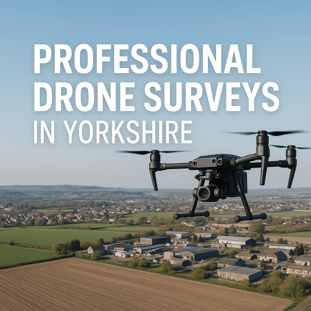
Professional Drone Photography based near Leeds, Yorkshire
Aerial imaging that delivers real results.
We provide high-quality aerial photography and drone inspection services to help you make smarter, safer decisions.
Properties
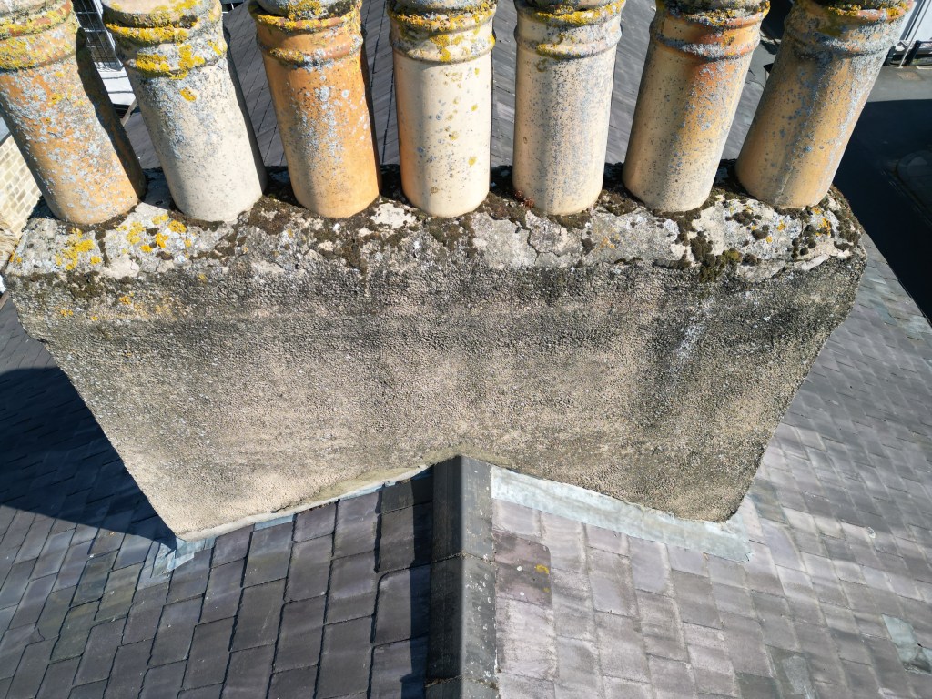
Roof Inspections
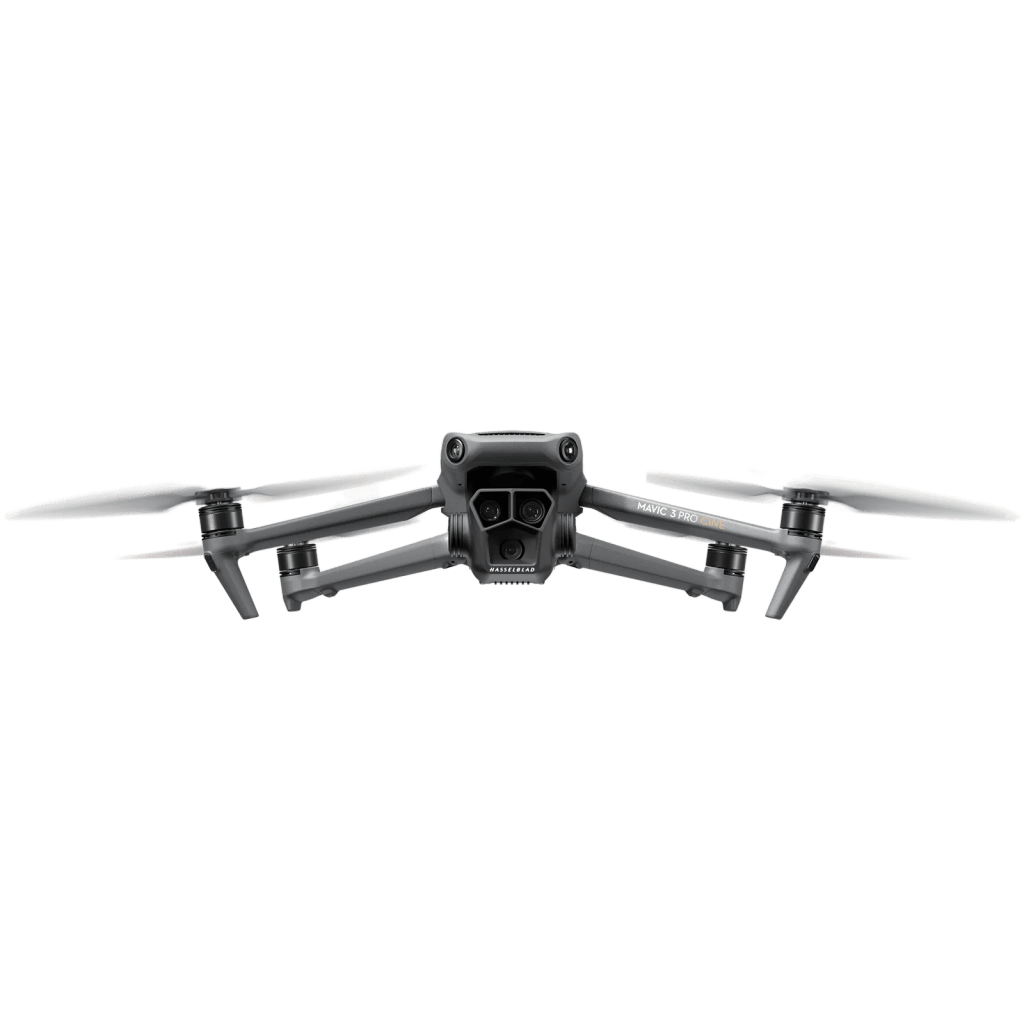
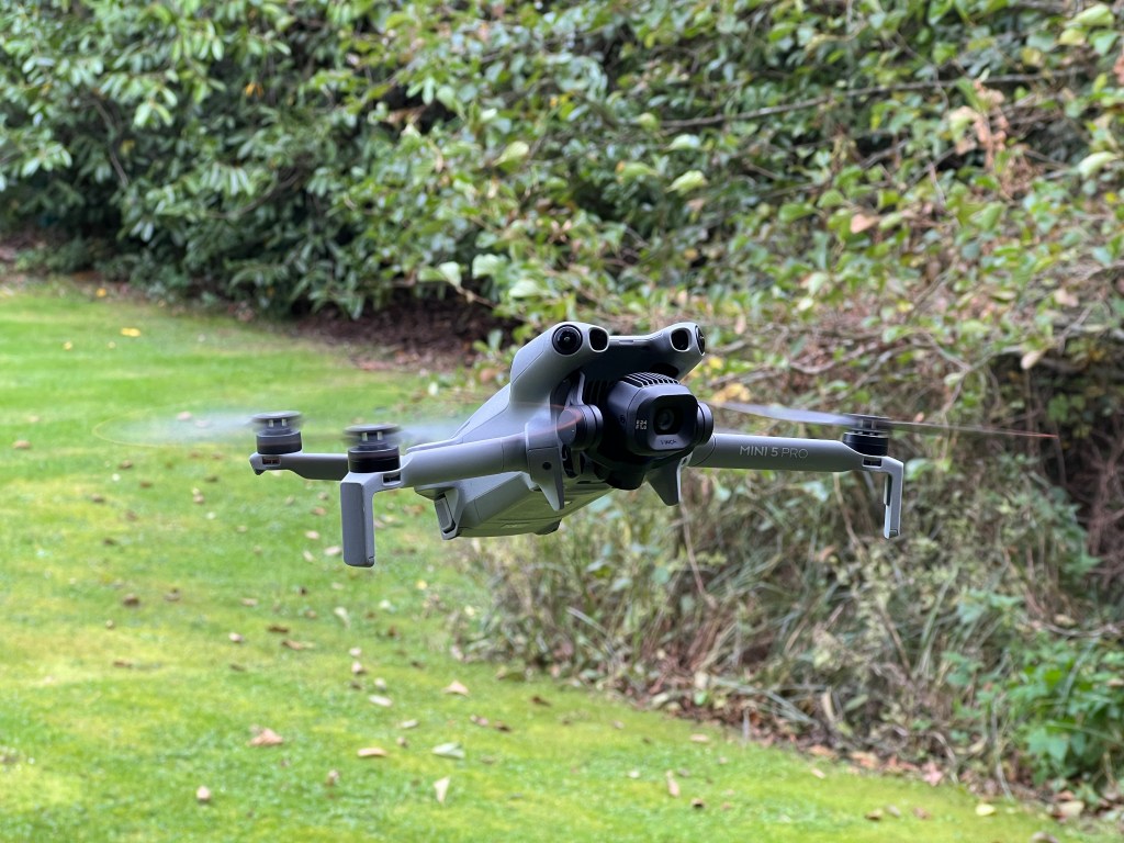
Professional Drones
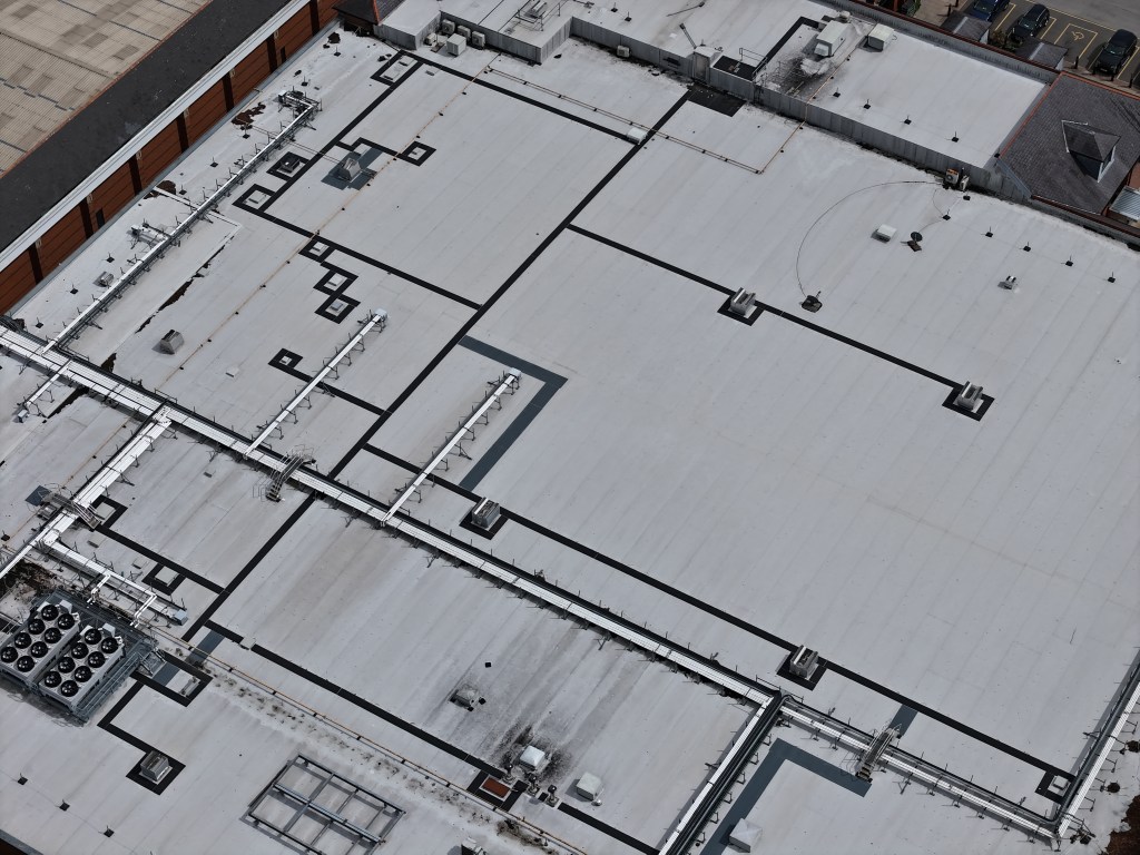
Commercial Roofs
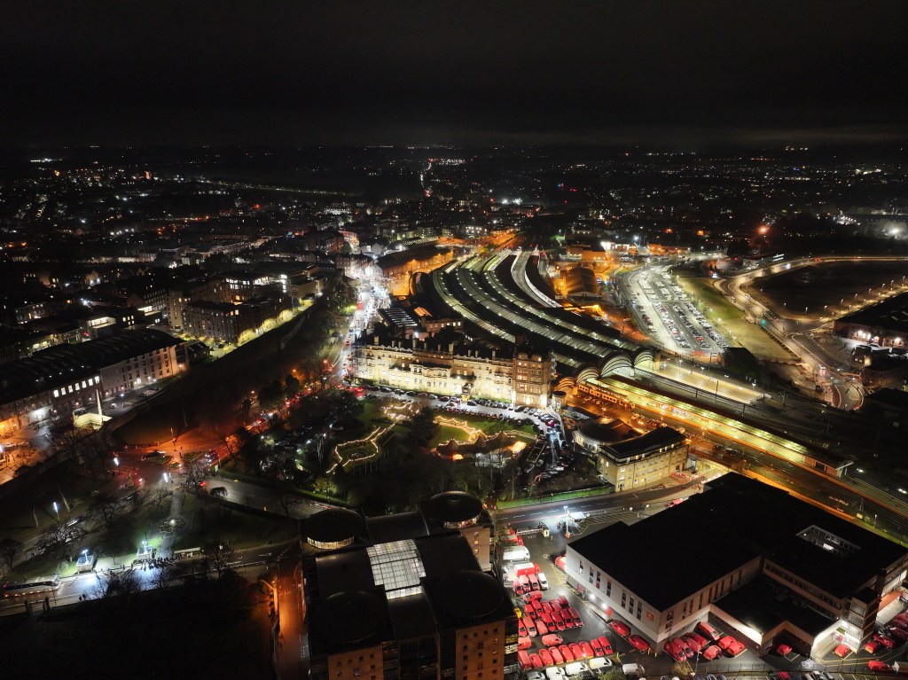
Night Photography
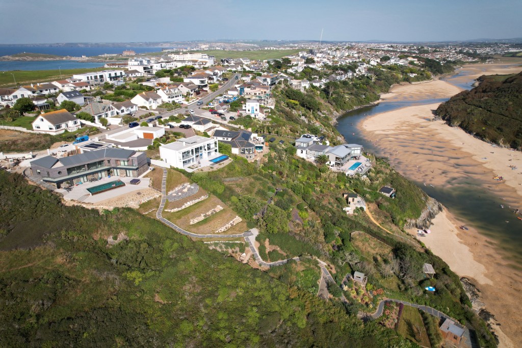
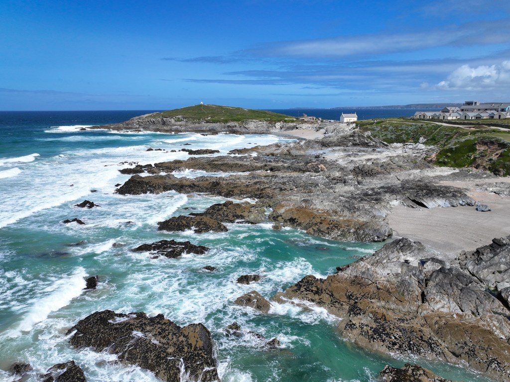
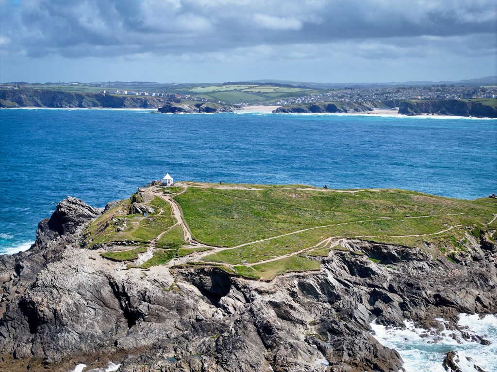
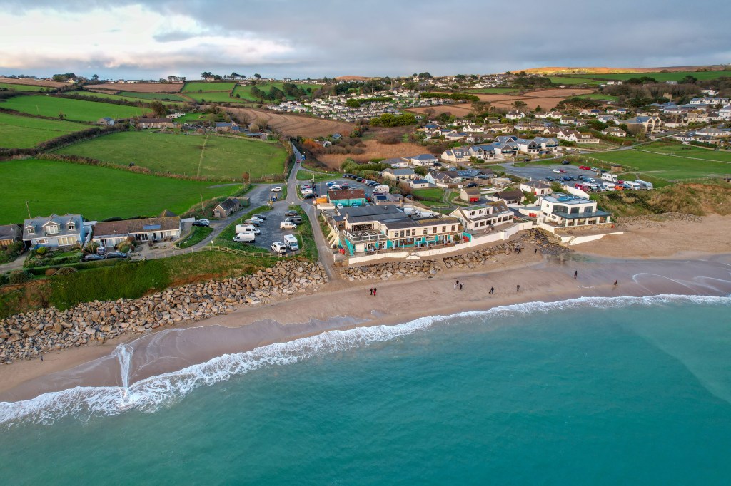
Coastal Aerial Photography
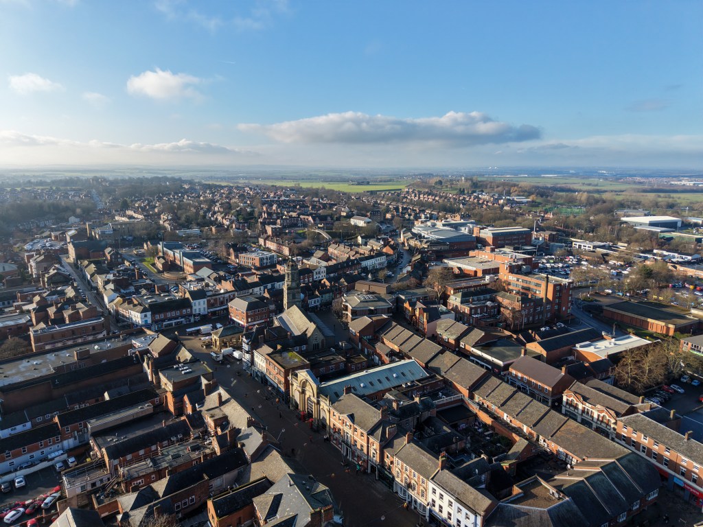
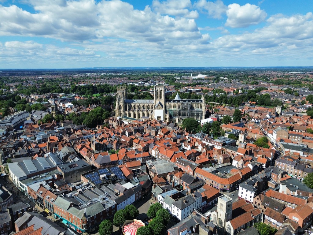
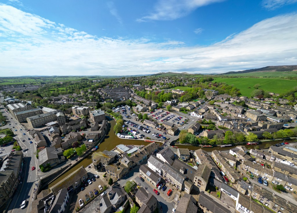
Town Photography
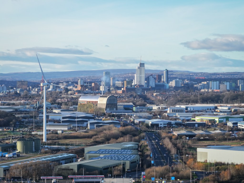
Long-distance Photography
Aerial Photography in Cities
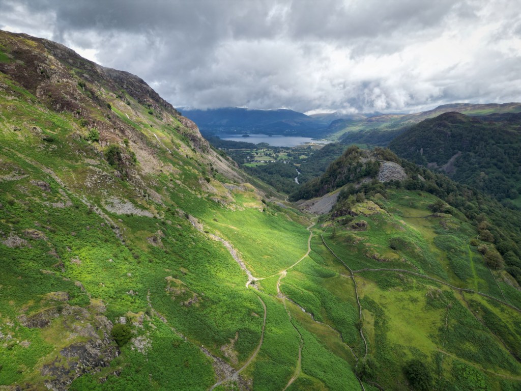
Landscape Photography
Wide-angle Photography
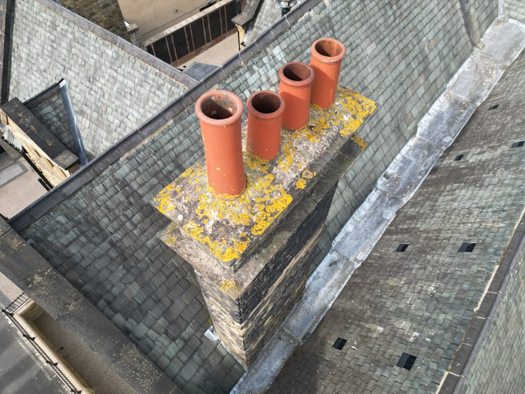
Drone Roof Inspections in Yorkshire and Across the UK
We provide professional drone roof inspections based in Yorkshire, helping homeowners, landlords, and businesses quickly assess roof condition without the need for scaffolding or ladders. Our drone inspections capture high-resolution photos and video, allowing you to clearly view your roof from every angle without having to access the roof yourself.
We operate across North Yorkshire, West Yorkshire, South Yorkshire, East Yorkshire, and throughout the UK.
What’s Included?
High-resolution drone photography of your roof, clear aerial video footage, detailed close-ups of chimneys, gutters, tiles, and visible problem areas, and fast digital delivery of all imagery. The delivery of the images will be done the same day using a secure digital download.
Drone Roof Inspection Pricing (Yorkshire)
Our Quick Roof Check starts from £65 and provides a fast visual overview of your roof. The Full Visual Inspection starts from £105 and includes more detailed coverage with additional angles, including full roof covering, guttering, and chimney. A Focused Inspection is available for £85 and targets specific areas only, such as chimneys, gutters, flashing, or known problem spots.
Commercial & Trade Roof Inspections
Small commercial roofs start from £200, medium roofs or warehouses from £250, and multiple roofs inspected on the same site and day are priced at £125 per roof.
Why Choose a Drone Roof Inspection?
Drone roof inspections remove the need for scaffolding, lifting equipment, MEWPs, or ladders, offer a faster and more cost-effective alternative to traditional access methods, and are ideal for hard-to-reach or unsafe roofs.
We are a trusted provider of drone roof inspections in Yorkshire.
Book a drone roof inspection in Yorkshire today for a fast, safe, and affordable solution.
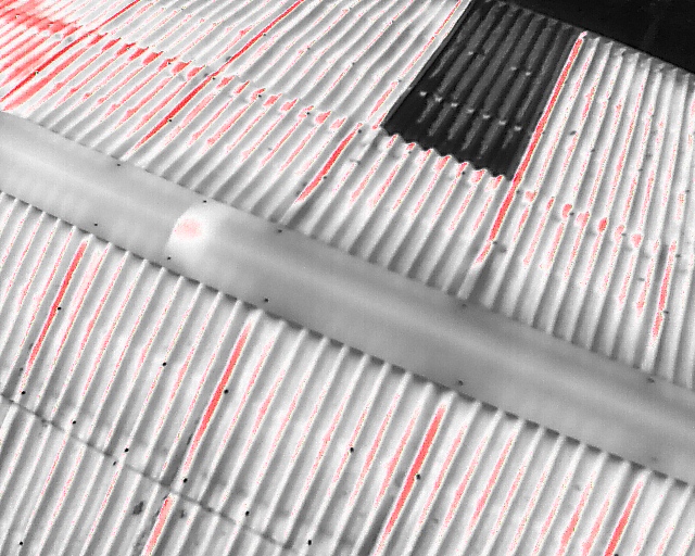
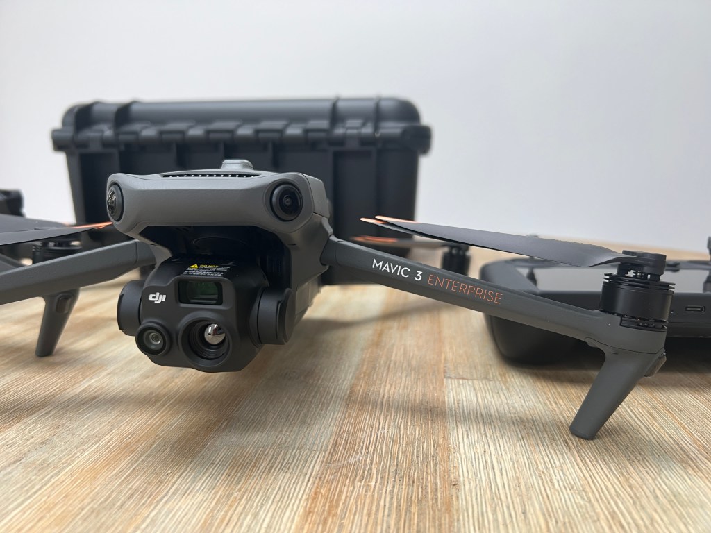
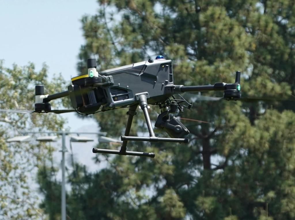
Specialist Drone Thermal Imaging for businesses across the UK
We support UK businesses with advanced aerial inspections that enhance safety, reduce manual workload, and minimise downtime – using DJI Enterprise series commercial drones.
Drone Thermal Roof Inspections, Building Inspections, and more.
Our DJI Mavic 3 Pro captures professional grade 4K and 5.1K footage and uses three versatile lenses, making it ideal for both cinematic filming and detailed inspections.
It is a powerful and stable platform which can deliver clear visuals for projects where quality and accuracy matter.
Use our contact form to book any of our drone services, or to discuss your project requirements:
We have worked side-by-side with construction sites in the Yorkshire, providing high-quality aerial data, inspections, and progress tracking.
Our work has helped to streamline workflows, reduce risk, and save valuable time on-site.
Drone 360 Degree imaging for site monitoring
Drone Roof & Building Inspections
Precise and affordable drone roof inspections available in Yorkshire—no scaffolding or MEWPs needed.
We capture high-resolution aerial imagery to spot damage, wear, or potential structural issues, helping you plan repairs with confidence and minimal disruption.
Find out about our professional roof inspections available across Yorkshire and the UK
We combine high-resolution aerial photography with drone thermal imaging to give you the data you need to make better decisions – quickly and safely.
Our drones can safely access dangerous or unstable areas where it’s unsafe for people to enter, including fire-damaged, structurally compromised, or partially collapsed buildings.
High-resolution aerial cameras allow us to capture detailed images and video from multiple angles, providing a clear visual record for inspections, condition assessments, insurance documentation, and project planning. By combining visual data with thermal insights, we support property owners, contractors, insurers, and asset managers with a safer, faster, and more efficient inspection solution.
Why Choose Us
Professional Thermal Drone Inspections Advanced thermal imaging drones identify heat loss, moisture ingress, and hidden defects accurately.
Fast UK-Wide Turnaround On-site data capture with same-day results available across Yorkshire and the UK.
Safe & Non-Intrusive Surveys No scaffolding, no downtime – drone inspections keep your site operational.
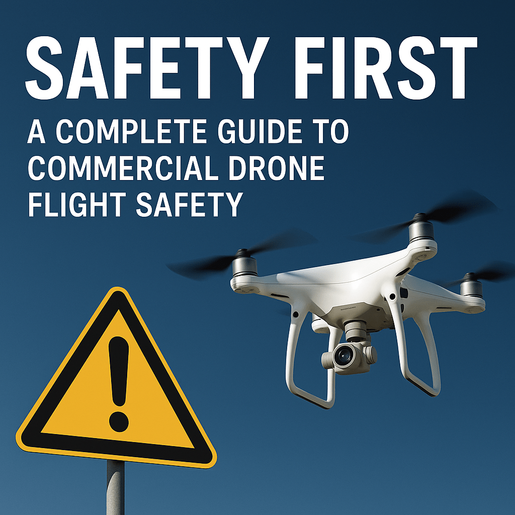
Fully Licensed & Insured CAA-qualified UK drone operator with full insurance and proven experience.
Safety First Full PPE and strict safety procedures used on every inspection.
Elevate Your View.
Expert Drone Inspection & Aerial Photography Services Across Yorkshire
High-impact visuals that transform the way you plan, build, inspect, and promote—efficiently and safely.
Expert Drone Services
Drone Services available across Yorkshire and the wider UK region
We have proven experience on site in areas such as Leeds, York, Harrogate, Selby, and other areas across Yorkshire.
We collaborate with other industry professionals and drone teams where required.
We operate professional camera drones for aerial photography, surveying, inspections, and 2D drone mapping projects – even for other drone professionals.
Delivering high-resolution drone data and visuals for businesses across Yorkshire.
We are a trusted provider of professional drone services, delivering high-quality aerial photography, surveying, inspections, utility inspections, drone roof and building surveys and mapping across the Yorkshire region.
We have helped businesses to save long term costs with the use of our aerial photography services.
Whether you’re a business, surveyor, property manager, or even another drone pilot needing support, we’ve got you covered.
We understand that every project comes with its own set of technical requirements, operational challenges, and time constraints. Our service is designed to meet the most demanding briefs, delivering precision and efficiency at every stage:
Whether you require high-resolution aerial imagery for drone asset inspections or thermal inspections to detect anomalies, we combine drone technology with operational planning to ensure you get the correct images or data required.
From initial consultation to final data delivery, we work in close partnership with you—designing flight plans, selecting the optimal method statements and data capture, and applying data processing workflows to achieve results that meet and often exceed industry standards.
Our experience spans sectors including utilities, and construction, where safety and reliability are highly important. Every project is delivered with a focus on compliance and safety.
Contact us today to discuss your brief and discover how our drone survey and inspection services can provide the data your project demands.