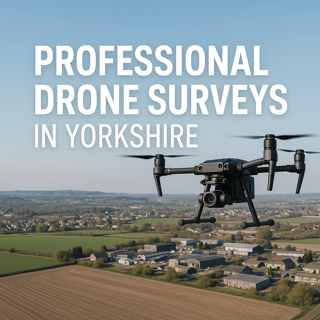
As industries across Yorkshire increasingly turn to data-driven solutions, professional drone surveys have become a cornerstone of efficient project management, safety inspections, and land development. From construction sites in Leeds and Harrogate to agricultural fields in North Yorkshire and urban developments in Sheffield and York, professional drone technology offers a precise, cost-effective, and safe alternative to traditional surveying methods.
Our drone survey services are tailored to meet the demands of sectors including construction, agriculture, energy, real estate, and environmental monitoring.
Using advanced UAV (Unmanned Aerial Vehicle) platforms equipped with high-resolution cameras, RTK GPS, thermal imaging, and photogrammetry tools, we collect accurate aerial data that supports critical decision-making.
Our drone team ensures compliance with the Civil Aviation Authority (CAA) regulations and guaranteeing professional standards across every project.
Topographical Surveys
A drone topographical survey uses an UAV equipped with high-resolution cameras or LiDAR sensors to capture comprehensive data of a landscape from above. By flying in a precise grid pattern, the drone gathers thousands of data points that are processed through photogrammetry to create 2D orthomosaic maps and 3D digital elevation models. This method is significantly faster and safer than traditional ground-based surveying, allowing for the mapping of large or inaccessible areas with extreme precision.
The resulting data—including contour lines and volumetric measurements—is essential for construction, mining, and urban planning, providing a “digital twin” of the land that ensures projects are built on accurate geographic foundations.
Topographical drone surveys provide detailed 2D and 3D representations of terrain and landscape features. This is particularly valuable for construction planning and infrastructure development in areas like Bradford, Wakefield, and Doncaster.
Construction Progress Monitoring
Our drone services have been employed on active construction sites in Yorkshire, offering weekly or monthly progress updates through aerial photography, and 4K video capture. Clients in areas such as Leeds benefit from regular, detailed overviews that help streamline stakeholder communication, manage timelines, and detect site issues early. We integrate georeferenced imagery with BIM systems for enhanced project oversight.
Roof and Building Inspections
Drone roof inspections eliminate the need for scaffolding or cherry pickers, reducing risk and improving speed. High-resolution zoom cameras and thermal imaging allow us to identify damaged tiles, leaks, insulation issues, and solar panel defects without stepping foot on the roof.
From commercial warehouses in North Yorkshire to residential properties in Harrogate, we’ve conducted numerous inspections that have saved property owners both time and money. Our drones can safely assess roofs with difficult access or at significant height, offering actionable data in hours rather than days.
Thermal Imaging and Infrared Surveys
Thermal drone surveys are essential for identifying heat anomalies in industrial buildings, substations, solar farms, and insulation systems. Our thermal imaging solutions have been used in East Yorkshire to assess solar panel performance and detect hotspots, cracks, or wiring faults. In property management and energy efficiency audits, this method uncovers issues invisible to the naked eye, helping facility managers and developers comply with environmental standards and reduce energy loss.
Agricultural Drone Surveys
Drone services are transforming farms in rural areas like the Yorkshire Dales and East Riding where it may be more difficult to carry out manual surveys due to access.
These may be to detect issues with large agricultural buildings, condition of drystone walls and gates.
Volumetric and Stockpile Analysis
Drone photogrammetry is ideal for calculating the volume of stockpiles, earthworks, and material movement across quarries and construction sites. Our clients in Sheffield and Barnsley have used volumetric surveys to measure aggregates, monitor excavation progress, and ensure compliance with regulatory reporting. With centimetre-level accuracy, drone-based measurements replace manual methods and reduce on-site disruption.
3D Modelling and Digital Twins
3D drone mapping allows us to create digital twins of buildings, historical landmarks, and complex infrastructure across historical or complex cities like York.
These high-fidelity models support planning applications, structural assessments, and virtual walkthroughs. Whether it’s a heritage asset or a new commercial development, our 3D reconstructions offer accurate visualisations for architects, engineers, and planners.
As Yorkshire continues to grow and innovate, professional drone surveys play a vital role in shaping its infrastructure, economy, and environment. Our comprehensive aerial survey solutions are designed to meet the region’s diverse industrial needs—delivering accurate data, enhanced safety, and cost-efficiency. Whether you’re planning a site in Wakefield, monitoring a project in Leeds, or managing farmland in North Yorkshire, our team is equipped to provide precision aerial data tailored to your objectives.
Contact us today to discuss your project or request a no-obligation quote for drone surveys in Yorkshire.
T-Hathaway Aerial Photograpy
Drone Photography & Aerial Surveys | UK
