AI-Driven Drone Technology
Integrated Computer Vision. Smarter Flights, Safer Data, Better Results.
We operate the latest consumer and enterprise drones equipped with powerful AI-driven features that automate flight, enhance data capture, and unlock new possibilities for inspections, mapping, site monitoring, and more.
We bring intelligent aerial technology directly to your project — wherever it is in the UK.
Key AI Features We Offer With Drone Systems:
Smart Object Tracking (ActiveTrack & PinPoint AI)
Our drones use onboard AI algorithms to automatically detect and follow subjects — whether it’s vehicles, people, or equipment. With object locking and precision tracking, we can monitor moving assets or fly in dynamic scenes without manual piloting – assisting the pilot with more situational awareness.
Waypoint Missions & Smart Flight Planning
Using DJI’s intelligent waypoint tools (like DJI Pilot 2/ DJI Fly), we program in highly detailed, repeatable flight paths — enabling precise mapping, progress tracking, or routine inspections with autonomous execution.
Obstacle Avoidance
With omnidirectional sensors and advanced computer vision systems, our drones make real-time decisions to avoid obstacles and ensure safer flights — even in tight or complex environments.
AI-Powered Mapping & 3D Modelling
Using third-party integrations, we turn drone imagery into high-accuracy maps, 3D reconstructions, and geotagged models for inspection, planning, and documentation.
AI tools can help to identify issues like surface damage, elevation changes, or material movement.
Thermal & Multispectral AI Analysis
Enterprise drones like the DJI Mavic 3 Thermal feature AI-assisted thermal imaging, allowing for real-time detection of hotspots, leaks, energy loss, or human presence — ideal for solar inspections, search and rescue, and security.
Automated Data Capture & Live Streaming
Drones allow for automated data workflows, live video feeds, and cloud syncing to streamline site oversight and decision-making in real time. With DJI Dock systems, this even becomes fully remote and autonomous.
Typical Applications
- Construction site mapping & monitoring
- Infrastructure inspections (roofing, solar, utilities)
- Agricultural surveying with multispectral data
- Thermal inspections for energy and utilities
- Land development planning & topographic analysis
- Remote site surveillance & incident response
- GIS
Service Area
We’re based in Yorkshire and operate across the UK — providing AI-enhanced aerial data for clients in construction, real estate, utilities, other drone companies, and more.
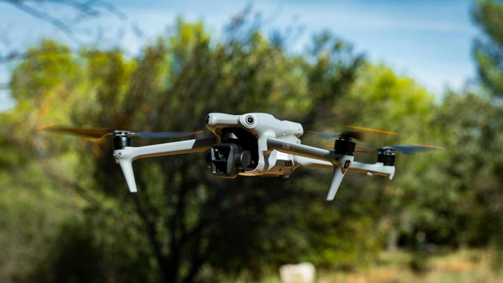
Drones We Use
We fly a range of DJI platforms including:
- DJI Mavic 3 Enterprise / DJI Mavic 3 Pro
- DJI Air 2S (consumer)
- DJI Air 3 (consumer)
- DJI Mini 5 Pro (sub-250g)
- And more depending on mission needs
Discover AI-Powered Drone Services
Want safer flights, smarter data, and automated results?
Get in touch today to learn how drone technology can elevate your next project.
T-Hathaway Aerial Photograpy
Drone Photography & Aerial Surveys | UK
