Clearly priced. Professionally delivered. Tailored to your needs.
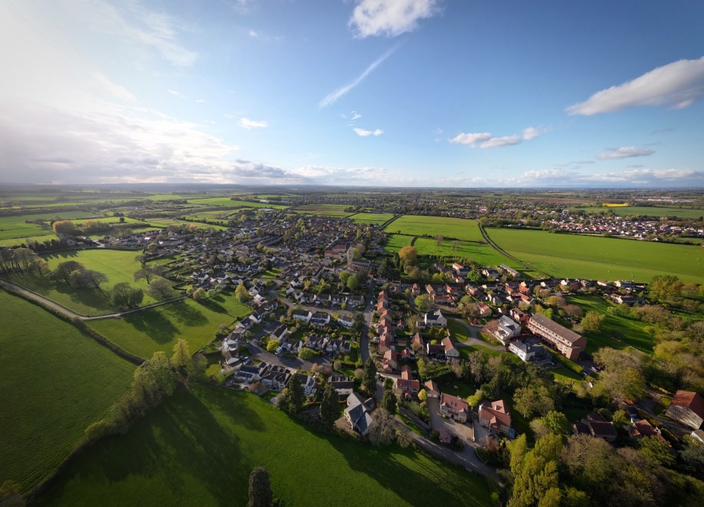
We provide professional aerial photography, inspections, and thermal imaging using professional grade camera drones, and industry-standard software.
All services are delivered by a qualified & insured drone pilot, with fast turnaround and a focus on quality.
Our Packages
Click below
- Quick shoots or small jobs: 10–30 images
- From £40
- 20–30 mins on site
- Optional extras: more images, raw files, travel
- From £75
- 20 aerial + interior photos, 360° views
- Secure digital delivery in 24–48 hrs
- Optional: site boundary markings
- Aerial Photos & Videos – High-quality shots from above.
- High quality Export – Ready-to-use, polished content.
- Marketing Assets – Optimised for web, social, and promos.
- From £150
- Detailed aerial imagery
- GPS tagging, structural close-ups, up to 50 megapixel images
- Image delivery within 24 hours
- Custom quote
- Optional 360° images
- Optional thermal scans
- Orthomosaic maps, altitude data, export ready
- Site progress updates
- From £249
- Thermal + visual imaging for energy loss, leaks, solar arrays
- DJI Thermal Analysis Tool
- From £185
Custom Projects
Use our custom form below:
For example, this may be for projects involving drone surveys, drone inspections, 2D maps & models, time-lapses, pre/post documentation.


Discounts & Charity Work
- Price breaks for repeat bookings, local businesses, referrals, partnerships, etc
- Free services for registered charities and community projects
Book Your Project
Let’s get your aerial work sorted.
Call: 07923 862318 📞
Email: info@droneserviceswetherby.com
Or use our contact form below:
📍 Based in Yorkshire – Serving clients across the UK
