Our proficiency extends to surveying buildings such as tower structures, chimneys, and roofs, which offer an unparalleled perspective.
We take safety seriously:
Learn more about our flight planning below:
Our services cater to a diverse clientele, including property owners, leasehold tenants, chartered surveyors, consultants, local councils, and religious institutions.
Where we operate:
We provide drone building and land surveys in Yorkshire and the North of England
About us:
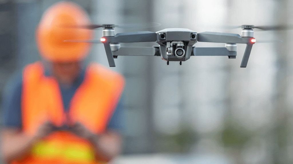
Our team comprises skilled operators with CAA certifications, adeptly navigating aerial survey drones to access hard-to-reach locations. This precision enables us to capture intricate details with ultra-HD 4/5K video footage and high-resolution 20-megapixel aerial images.
Our operations:
Cost-Efficient Aerial Building Surveys
At T-Hathaway Aerial Photography, we introduce a remarkably cost-efficient and rapid solution for UAV aerial building surveys, standing in contrast to conventional and expensive methods like scaffolding, platforms, steeplejacks, or cherry picker rentals. By avoiding the need for “Working at Height” adherence, we ensure a streamlined process that keeps safety and efficiency at the forefront.
This advantage is particularly valuable for sites with structurally unsound areas or complex access requirements. Our aerial surveys encompass heights from ground level up to 400ft.
Real-time Monitoring and Streamlined Workflow
In a mere half-day, we can thoroughly cover extensive survey areas. Our drones boast flight durations exceeding 34 minutes per battery cycle, with spare pre-charged batteries always at the ready for uninterrupted operations.
if needs be, feel free to stand alongside our experts and monitor the live video feed as the drone takes flight, ensuring we capture the precise imagery you require.
Effortless Data Access and Analysis
Upon survey completion, all clients gain access to their comprehensive survey reports, videos, and images via cloud storage or a memory stick. This intuitive approach facilitates convenient inspection of specific elements, including brickwork, lightning conductors, stonework, restoration projects, chimneys, weather vanes, roof tiles, leadwork, asbestos, and roof valleys. Analyse the captured data at your own pace and within the comfort of your workspace using your laptop, tablet, or PC.
Safety-Focused and Efficient Setup
Before arriving on-site, we undertake CAA flight planning and comprehensive risk assessments to ensure strict adherence to safety protocols and the well-being of the public in proximity. Setting up the drone on-site is a swift procedure, typically requiring just 10 minutes. This seamless deployment minimises disruptions to residents and staff while preserving property and its surroundings.
Transparent Pricing and Ongoing Service
For detailed pricing insights regarding single visits, kindly refer to our dedicated pricing page. Those interested in multisite regular contract aerial inspections as part of a proactive maintenance program are encouraged to reach out for tailored pricing discussions.
Elevate Your Inspections with T-Hathaway Aerial Photography
With cutting-edge technology, safety as a priority, and unwavering client dedication, we assure your aerial surveys are executed flawlessly and with precision. Contact us today to explore how we can elevate your inspection practices.


Know what you need? Use our booking form directly:
T-Hathaway Aerial Photograpy
Drone Photography & Aerial Surveys | UK

One response to “Aerial Drone Surveys in Yorkshire”
[…] Learn more […]
LikeLike